| dc.contributor.advisor | Gossé, Sigurd | |
| dc.contributor.advisor | Houge, Torbjørn | |
| dc.contributor.author | Klüver, Jonas Hoel | |
| dc.contributor.author | Jensen, Jesper Wille | |
| dc.contributor.author | Nygård, Sander Løvdahl | |
| dc.contributor.author | Skjolden, Tormod Skorpe | |
| dc.date.accessioned | 2023-07-05T17:24:25Z | |
| dc.date.available | 2023-07-05T17:24:25Z | |
| dc.date.issued | 2023 | |
| dc.identifier | no.ntnu:inspera:146719425:149875499 | |
| dc.identifier.uri | https://hdl.handle.net/11250/3076362 | |
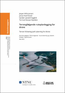
| dc.description.abstract | Maritime Robotics bruker QGroundControl (QGC) til ruteplanlegging for sin VTOL-drone, Falk.
QGC ekskluderer mulighet for terrengfølgende ruteplanlegging i store deler av Norge på grunn av manglende datagrunnlag. I tillegg består ruteplanlegging av repetitive oppgaver, og påvirkes av ytre faktorer som vær. Prosjektet tar tak i disse svakhetene med QGC. Terrenghøydedata innhentes fra Kartverkets API for at terrengfølgende ruteplanlegging kan utføres i hele Norge. I tillegg automatiseres repetitive brukeroppgaver; korrigering av terrengkolliderende rutesegmenter, ruten holder spesifisert høyde over terrenget, og korrigering av for bratt stigning i flyrutesegmenter. Til slutt er det lagt til et avansert estimat for flytid som regner med vind og høydeendring i ruten. | |
| dc.description.abstract | Maritime Robotics utilizes QGroundControl (QGC) for path planning for its VTOL aircraft, Falk. QGC excludes terrain-following path planning in large parts of Norway due to a lack of data. Additionally, path planning involves repetitive tasks and is influenced by external factors such as weather. The project addresses these weaknesses in QGC. Terrain elevation data is obtained from the Kartverket’s API to enable terrain-following path planning throughout Norway. Automation of repetitive user tasks includes the correction of terrain-colliding path segments, maintaining a specified altitude above the terrain, and adjusting excessively steep climb segments in the flight path. Finally, an advanced flight time estimation has been implemented, which considers wind conditions and changes in altitude along the path. | |
| dc.language | nob | |
| dc.publisher | NTNU | |
| dc.title | Terrengfølgende ruteplanlegging for drone | |
| dc.type | Bachelor thesis | |
