| dc.contributor.author | Nahavandchi, Hossein | |
| dc.contributor.author | Sjöberg, Lars Erik | |
| dc.date.accessioned | 2024-04-04T11:06:37Z | |
| dc.date.available | 2024-04-04T11:06:37Z | |
| dc.date.created | 2002-02-15T00:00:00Z | |
| dc.date.issued | 2001 | |
| dc.identifier.citation | Journal of Geodesy. 2001, 74 (11/12), 816-822. | en_US |
| dc.identifier.issn | 0949-7714 | |
| dc.identifier.uri | https://hdl.handle.net/11250/3124836 | |
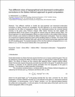
| dc.description.abstract | Two different methods to handle the topographical and downward-continuation corrections in Stokes' formula are investigated. The first approach is to correct observed gravity anomalies for the the effect of topographic masses, then downward-continue the corrected gravity anomaly to the geoid using Poisson's integral. After Stokes' formula has been applied, the gravitational effects of the masses on the geoid are restored using the indirect primary effect. The second approach is to add all topographic effects as a total correction to the original Stokes formula, which includes a new method to estimate the effect of downward continuation. These two methods are compared at 23 global positioning system (GPS)-levelling stations in Sweden. The results of this comparison show that both methods work well, with the first method having better agreement with the GPS-levelling geoid. The standard deviation of fit in the first method is computed to be ±1.1 cm, while it is ±2.1 cm for the second method after a four-parameter fit. | en_US |
| dc.description.abstract | Two different views of topographical and downward-continuation corrections in the Stokes-Helmert approach to geoid computation | en_US |
| dc.language.iso | eng | en_US |
| dc.publisher | Springer | en_US |
| dc.title | Two different views of topographical and downward-continuation corrections in the Stokes-Helmert approach to geoid computation | en_US |
| dc.title.alternative | Two different views of topographical and downward-continuation corrections in the Stokes-Helmert approach to geoid computation | en_US |
| dc.type | Peer reviewed | en_US |
| dc.type | Journal article | en_US |
| dc.description.version | acceptedVersion | en_US |
| dc.source.pagenumber | 816-822 | en_US |
| dc.source.volume | 74 | en_US |
| dc.source.journal | Journal of Geodesy | en_US |
| dc.source.issue | 11/12 | en_US |
| dc.identifier.doi | 10.1007/s001900000149 | |
| dc.identifier.cristin | 408472 | |
| cristin.ispublished | true | |
| cristin.fulltext | postprint | |
| cristin.qualitycode | 1 | |
