• norsk
    • English
  • English 
    • norsk
    • English
  • Login
View Item 
  •   Home
  • Fakultet for samfunns- og utdanningsvitenskap (SU)
  • Institutt for geografi
  • View Item
  •   Home
  • Fakultet for samfunns- og utdanningsvitenskap (SU)
  • Institutt for geografi
  • View Item
JavaScript is disabled for your browser. Some features of this site may not work without it.

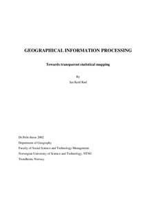
Geographical information processing: Towards transparent statistical mapping

Rød, Jan Ketil
Doctoral thesis
Thumbnail
View/Open
123194_FULLTEXT01.pdf (7.127Mb)
URI
http://hdl.handle.net/11250/265227
Date
2002
Metadata
Show full item record
Collections
  • Institutt for geografi [1153]
Has parts
Rød, Jan Ketil; Ormeling, Ferjan; van Elzakker, Corné. An agenda for democratising cartographic visualisation. Norsk Geografisk Tidsskrift - Norwegian Journal of Geography. 55(1): 38-41, 2001.

Rød, Jan Ketil. Vurdering av funksjonalitet ved fremstilling av koropletkart i Excel. Kart og Plan. 59(1): 36-42, 1999.

Rød, Jan Ketil. Le troisième choix .... Papers from the Department of Geography University of Trondheim - New Series B,(43), 1998.

Rød, Jan Ketil. How the monosemic graphics go polysemic. Cartographic Perspectives(38): 26-37, 2001.

Rød, Jan Ketil. De nauwkeurigheid van geclassificeerde kaarten. Kartografisch Tijdscrift. 16(4): 47-51, 2000.

Rød, Jan Ketil. The selection of class intervals revisited. .
Publisher
Fakultet for samfunnsvitenskap og teknologiledelse

Contact Us | Send Feedback

Privacy policy
DSpace software copyright © 2002-2019  DuraSpace

Service from  Unit


Browse

ArchiveCommunities & CollectionsBy Issue DateAuthorsTitlesSubjectsDocument TypesJournalsThis CollectionBy Issue DateAuthorsTitlesSubjectsDocument TypesJournals

My Account

Login

Statistics

View Usage Statistics

Contact Us | Send Feedback

Privacy policy
DSpace software copyright © 2002-2019  DuraSpace

Service from  Unit