| dc.contributor.advisor | Røskaft, Eivin | nb_NO |
| dc.contributor.author | Kvistad, Arne Ivar | nb_NO |
| dc.date.accessioned | 2014-12-19T13:11:49Z | |
| dc.date.available | 2014-12-19T13:11:49Z | |
| dc.date.created | 2011-06-20 | nb_NO |
| dc.date.issued | 2011 | nb_NO |
| dc.identifier | 424964 | nb_NO |
| dc.identifier | ntnudaim:6468 | nb_NO |
| dc.identifier.uri | http://hdl.handle.net/11250/244766 | |
| dc.description.abstract | Landscape and vegetation data were extracted from digital maps by use of GIS. These data together with predator and management related data collected from landowners and hunter's associations in Norway, were used as explanatory parameters in an analysis of density estimates of black grouse and capercaillie in a number of study sites in Norway. By habitat modeling the dominating wood type and the landscape heterogeneity of an area were identified as important factors affecting the black grouse populations. For the capercaillie the forest cover, proportion of blueberry forest and abundance of pine marten were appointed to be important factors. | nb_NO |
| dc.language | eng | nb_NO |
| dc.publisher | Institutt for biologi | nb_NO |
| dc.subject | ntnudaim:6468 | no_NO |
| dc.subject | MSNARM Natural Resources Management | no_NO |
| dc.subject | Biologi | no_NO |
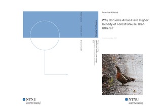
| dc.title | Why Do Some Areas Have Higher Density of Forest Grouse Than Others? | nb_NO |
| dc.type | Master thesis | nb_NO |
| dc.source.pagenumber | 54 | nb_NO |
| dc.contributor.department | Norges teknisk-naturvitenskapelige universitet, Fakultet for naturvitenskap og teknologi, Institutt for biologi | nb_NO |

