| dc.description.abstract | This study explores people’s vulnerability to landslides in Bududa, Uganda and how people perceive their vulnerability to such disasters in the face of a blatant government declaration that the area is risk prone and unsafe for human settlement. The study then explores GIS capabilities to map such perceptions and how ensuing maps can be used to communicate people’s perceptions of vulnerability to landslides. Specifically examined are people’s perceived causes of landslides, how people interpret their vulnerability to landslides; factors influencing their perceptions of vulnerability and their coping capacity.
This thesis is about vulnerability and representations of perceived vulnerability. The study uses the vulnerability paradigm and theoretical representations on vulnerability as theoretical frameworks. The paradigm expounds vulnerability to mean the characteristics of a person or group and their situation that influences their capacity to anticipate, cope with, resist and recover from the impact of a natural hazard. The theoretical representations highlight known risk perceptions and principles of risk behavior.
A case study approach is adopted involving qualitative research methods and a customized perception mapping methodology using Geographic Information Systems (GIS). Data were collected through personal observation, formal and informal interviews, document review and spatial data capture using maps and global positioning systems on smart phone. In a case study approach, an empirical inquiry, which investigates contemporary phenomenon within its real-life context such as people living in a disaster prone area, is analyzed and interpreted through the selected theoretical framework.
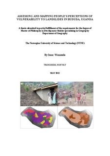
The data reveals that, local people living in landslide prone areas in Bududa are aware of the risk but are bonded to the area mainly by poverty, religious and cultural beliefs, fertile land and socio-economic ties. Accordingly, illiterate and semi-literate respondents express strong attachment to culture, tradition and religious beliefs but at the same time attributing their continued stay to poverty and marginalization. Literate participants blame illiterate participants for being adamant and nonresponsive to government programs aimed at relocating them to safer locations. Findings also reveal limited sensitization of affected communities about the inherent dangers to their lives. Furthermore, coding and classification of non-spatial data and use of raster data formats are adopted to produce maps, which efficiently communicate perceptions of landslide vulnerability.
The study recommends augmented sensitization using 3 dimensional maps with emphasis on digital elevation modeling and household vulnerability mapping for improved response. | nb_NO |
