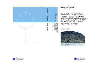
| dc.description.abstract | A digital 3D-model of Hopen has been created, using high-resolution photos taken along the coastline of the entire island. By merging these photos together in PhotoModeler software it has been possible to produce a workable 3D model of major parts of the island. Detailed sedimentological logs, provided by many different geologists, are representative of specific locations, mostly along the eastern side of the island. All the sediments at Hopen are part of the Upper Triassic succession and include the De Geerdalen, Flatsalen and Svenskøya formations. Large fluvial channel bodies, up to 36 m thick, are observed in the steep, near vertical cliffs of the island. The model makes it possible to map seismic scale channel bodies, as well as smaller channel bodies, and interpret them with measured sedimentological logs. Based on position of exposed sandstones, visible on both sides of the island, the development of the river system can be suggested. The model combined with additional photos has made it possible to recognize a potentially new member on the island, referred to as Hopen member. This member marks a possible transgressive system tract, from fluvial dominated delta plain sediments to shallow marine deposits. This member is about 70 meters below the well-known Slottet Bed, which marks the transition from the De Geerdalen Formation to Flatsalen Formation. The Hopen member has also been used to place the different channel bodies at the right stratigraphic level relative to each other.The Hopen member might be deposited due to the same flooding event as the Isfjorden Member on Spitsbergen and might be correlatable with a 3rd global sequence boundary, which can be correlated between deposits found in northern Himalaya, Sverdrup Basin and the southwestern USA.This thesis has also made it possible to map where to expect to find Slottet bed, which may help updating the geological map of the island. | nb_NO |

